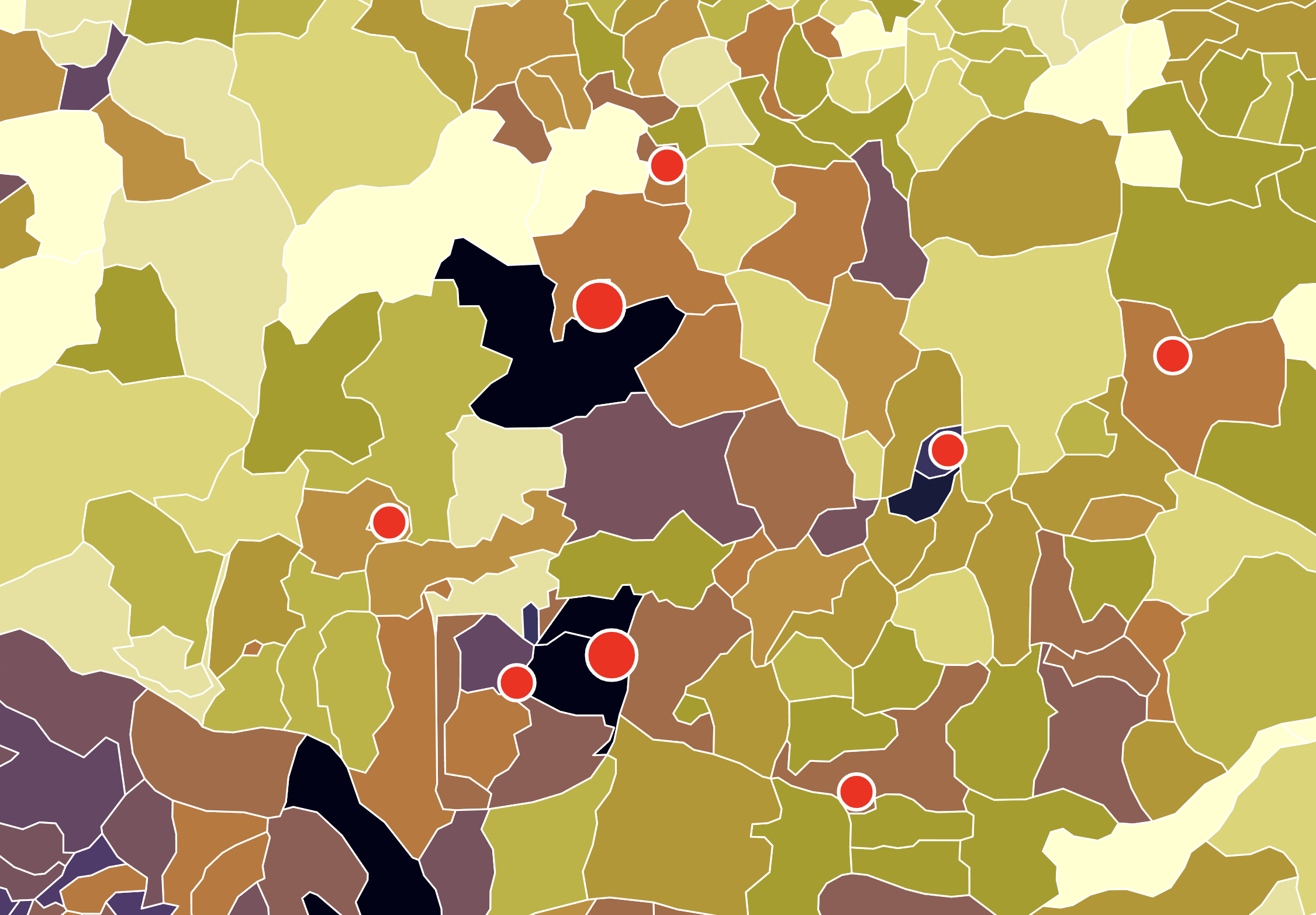
Nigeria Income per Household by Local Government Area
- 2025-02-17
- 11:04 pm
- Posted By: Tellusant

We are pleased to introduce our latest add-on to TelluBase: the Nigeria Local Government Area dataset.¹
Over the years, we have worked extensively in the country and know how valuable reliable consumer-level information is.
The map below shows household income in 16 brackets for almost 800 LGAs.²
This pioneering work combines Tellusant’s world-leading mathematical methods with underlying data from the Nigerian Statistics Bureau, the World Bank, the United Nations, the IMF, and more.
What you see in this map is the tip of the iceberg. We have the data at income bracket and age cohort level (what we call consumer classes) available back to 2000, and make estimates from 2024 and onward.
For those planning to invest or expand in Nigeria, our data is invaluable.
The map is part of our Maps Library, which contains a variety of full resolution maps.
¹ Local Government Areas (LGA) are the secondary subdivisions (below state).
² The same as National Geographic uses in its atlases with our data.